Satellite Images Reveal Continued Oil Loading on Khark Island
SadaNews - Satellite images captured on March 29, 2026, reveal the presence of several ships on Khark Island loading crude oil at the docks, alongside the presence of fast boats belonging to the Iranian Revolutionary Guard.
Analysis of the images showed the existence of 5 tankers ranging in length from 218 meters to 330 meters, all of which are docked at the shipping terminals located on either side of the island, in addition to at least 6 fast boats nearby.
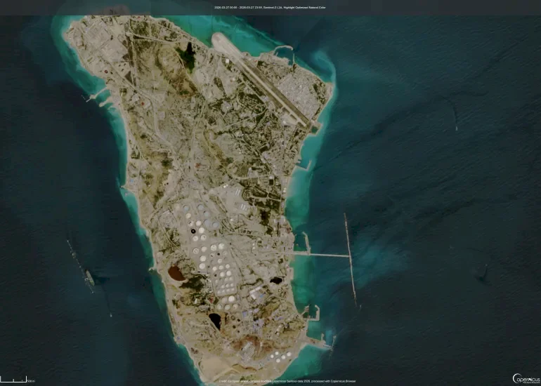
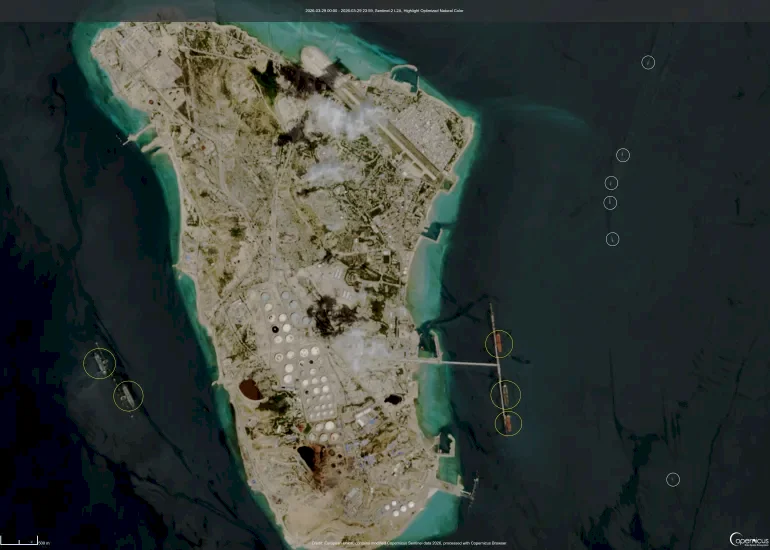
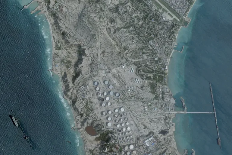
Khark Island is located about 30 kilometers from the Iranian coast, and it is the largest open oil export terminal in the world, capable of loading up to 7 million barrels per day. Between 90% and 95% of Iran's oil exports pass through it due to the shallow waters along much of the country's coastline, which cannot accommodate giant tankers.
U.S. President Donald Trump, in an interview with the British Financial Times, stated that his preferred option is to seize Iranian oil, adding, "Maybe we will seize Khark Island and maybe we won't, which means we will have to stay there for a while," considering that the Iranians lack adequate air defenses, explaining that seizing the island could be done "very easily."
CNN reported, based on intelligence reports, that Iran has deployed additional reinforcements to Khark Island in recent weeks, in a move aimed at preparing for any potential operation that the United States might undertake to take control of the island.
Source: Open Source Team

Saudi Arabia condemns the Houthi threats to navigation and pledges to protect its ships

Houthi Movement Announces Ban on Maritime Navigation Against Saudi Arabia

Earthquake of 5.5 Magnitude Hits Western Iran

To Enhance His Support for "Increasing Children"... Vance Announces the Birth of His Fourt...

Death of a Mosque Imam in Armed Attack in Southeastern Iran

Rubio Reveals Circumstances Surrounding the Death of an American Soldier in Iraq

Reliable Threat.. US Embassy in Jordan: Evacuation of International Airport and Port in Aq...
