Palestine News
Land Authority participates in a workshop with the Dutch Cadastre on land registration using aerial photography and modern technologies
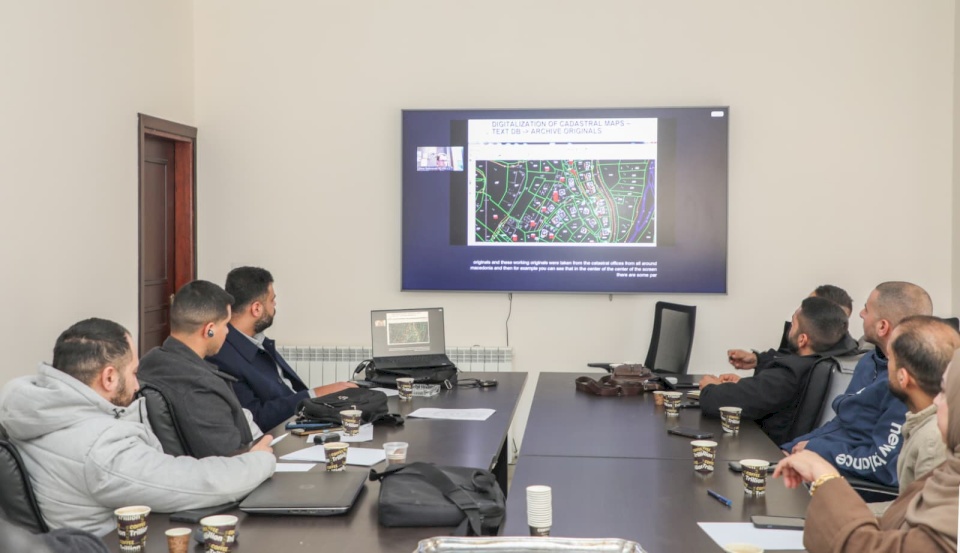
SadaNews - Today, the Land Authority participated in a workshop organized by Kadaster (the Dutch land registration and mapping agency) via Zoom, to present its international experiences and expertise in the field of land registration using aerial photography and modern technologies and software, with the participation of several technical staff from the Land Authority.
The workshop came within the framework of a joint project between the Land Authority and Kadaster, in collaboration with the University of Twente. The workshop was presented by Professor Dimo Todorovski, who reviewed practical models and international experiences in the digitization of land management, the development of land registration systems, and the enhancement of technical and legal work efficiency through digital solutions and aerial maps.
The workshop was attended by several partner institutions in the program, including UN-Habitat, the Ministry of Planning, the Land Research Center, and the Ministry of Agriculture, with the opening remarks delivered by Ms. Muna Bahirat, Director General of the Jerusalem District, highlighting the importance of exchanging international experiences to support national efforts in developing the land sector.
Bahirat emphasized that this workshop represents an important step towards enhancing institutional integration and building national capacities, noting that the introduction of modern technologies in land registration works contributes to protecting rights, improving service efficiency, and enhancing transparency.
The workshop focused on several specialized technical areas, notably the use of aerial photography in land identification and documentation, the utilization of Geographic Information Systems (GIS) in building accurate spatial databases, in addition to reviewing mechanisms for integrating modern software into land registration procedures, and linking field data with legal records to ensure output quality and speed of completion.
The presentations also covered diverse international experiences in land registration in complex environments, mechanisms for involving local communities, simplifying procedures, and improving data management, along with practical models on the use of digital technologies in supporting decision-making and enhancing transparency.
The workshop featured an interactive discussion on the possibility of aligning these experiences with the Palestinian reality and exploring ways to benefit from them in developing land settlement and registration work, where it was agreed to arrange subsequent workshops in the upcoming period, addressing more specialized aspects, contributing to knowledge transfer, building the capacities of technical staff, and enhancing the readiness of partner institutions to implement modern technical solutions.
Read Also

Sheikh Meets with Representatives of Civil Society Institutions, Praising Their Role as a...

Ministry of Education Sets Friday for Announcing High School Results

مركز كارتر يصدر تقريره النهائي بشأن الانتخابات البلدية في الأراضي الفلسطينية المحتلة التي...

Al-Sharqawi from Geneva: Protecting the special status of Jerusalem requires greater coord...

Lt. General Al-Natsha Undergoes Lengthy Interrogation at Moskobiya Regarding His Represent...

The Occupation Demolishes a House in the Town of Sa'ir near Hebron

Sheikh Offers Condolences for the Martyrdom of Citizens in Deir Jareer
