At the Request of the Trump Administration, Satellite Company Stops Publishing Images Related to the War in Iran
SadaNews - The satellite imaging company announced that it is halting its services for publishing photographic materials of areas in the Middle East during the American-Israeli war on Iran, in response to a request from Washington.
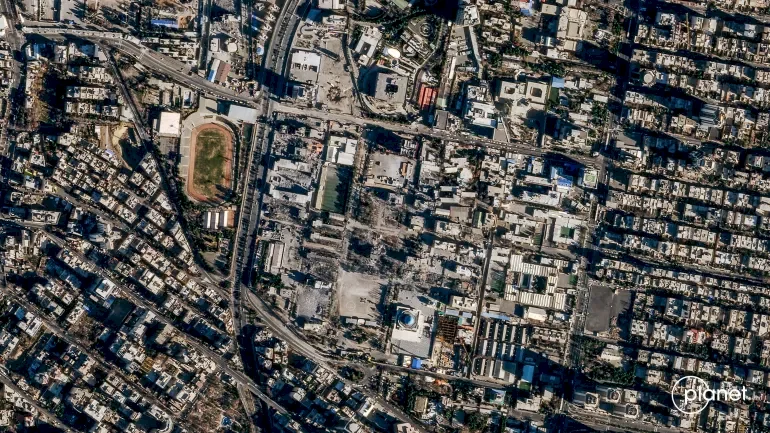
Planet Labs, the satellite imaging company, stated that it will indefinitely cease publishing materials related to Iran and the conflict region in the Middle East in response to a request from the administration of U.S. President Donald Trump.
Planet Labs, headquartered in California, made this announcement in an email message to clients, stating that the U.S. government requested all satellite image suppliers to indefinitely withhold materials related to the conflict region.
The company had previously announced a 14-day postponement of publishing images related to the Middle East, saying it aims to prevent enemies from using them to attack the United States and its allies.
Planet Labs indicated that it will stop publishing images dated from March 9, and expects this policy to remain in place until the conflict ends.
Planet Labs operates a large fleet of earth observation satellites and sells continuously updated images to governments, companies, and media outlets.
The American company stated that it will shift to adopting a "regulated distribution system of images" that are considered non-threatening to safety. Under this new system, Planet Labs will distribute images on a case-by-case basis to meet urgent and necessary requirements for carrying out missions or serving the public interest.
It added: "These are exceptional circumstances and we are making every effort to balance the needs of all stakeholders involved."
For its part, another company specializing in providing images for commercial purposes, which changed its name from Maxar Technologies to Vantour, told Reuters that the U.S. government had not reached out to them.
A spokesperson for the company stated in a statement that Vantour has retained the right for years to "apply enhanced access controls during geopolitical conflict periods" and is currently enforcing them in certain parts of the Middle East.
The spokesperson added that these controls might include restrictions on who can request new images or purchase existing images from regions "where the U.S. military and its allies are active" and from areas "that are actively targeted by enemies."
The war began when the United States and Israel attacked Iran on February 28, expanding the conflict in the region when Tehran launched attacks on Israel and targeted what it claimed were "American bases and interests" in Arab countries, although some of those attacks targeted civilian facilities, causing casualties and significant material losses.
Some space experts say that commercially taken images may fall into the hands of Iran, including images that can be obtained through "enemies of the United States," according to them.
Military uses of satellite technology include target designation, weapon guidance, missile tracking, and communications. Satellite images also assist journalists and academics studying hard-to-access locations.

Morocco Hosts Formative Exercise for International Stabilization Force in Gaza

Sheikh Holds Meeting with Security Leaders to Follow Up on Current Developments

Hebrew Channels: The Likelihood of Israel's Participation in the Attack on Iran is Increas...

Netherlands Sets September Deadline for Ban on Settlement Products

12 Martyrs in Gaza Strip since Dawn Today

A Series of Important Decisions Taken.. The Cabinet Discusses Developments in the Deterior...

Organizations of the Temple Prepare for the Largest Raid on Al-Aqsa on What is Called the...
